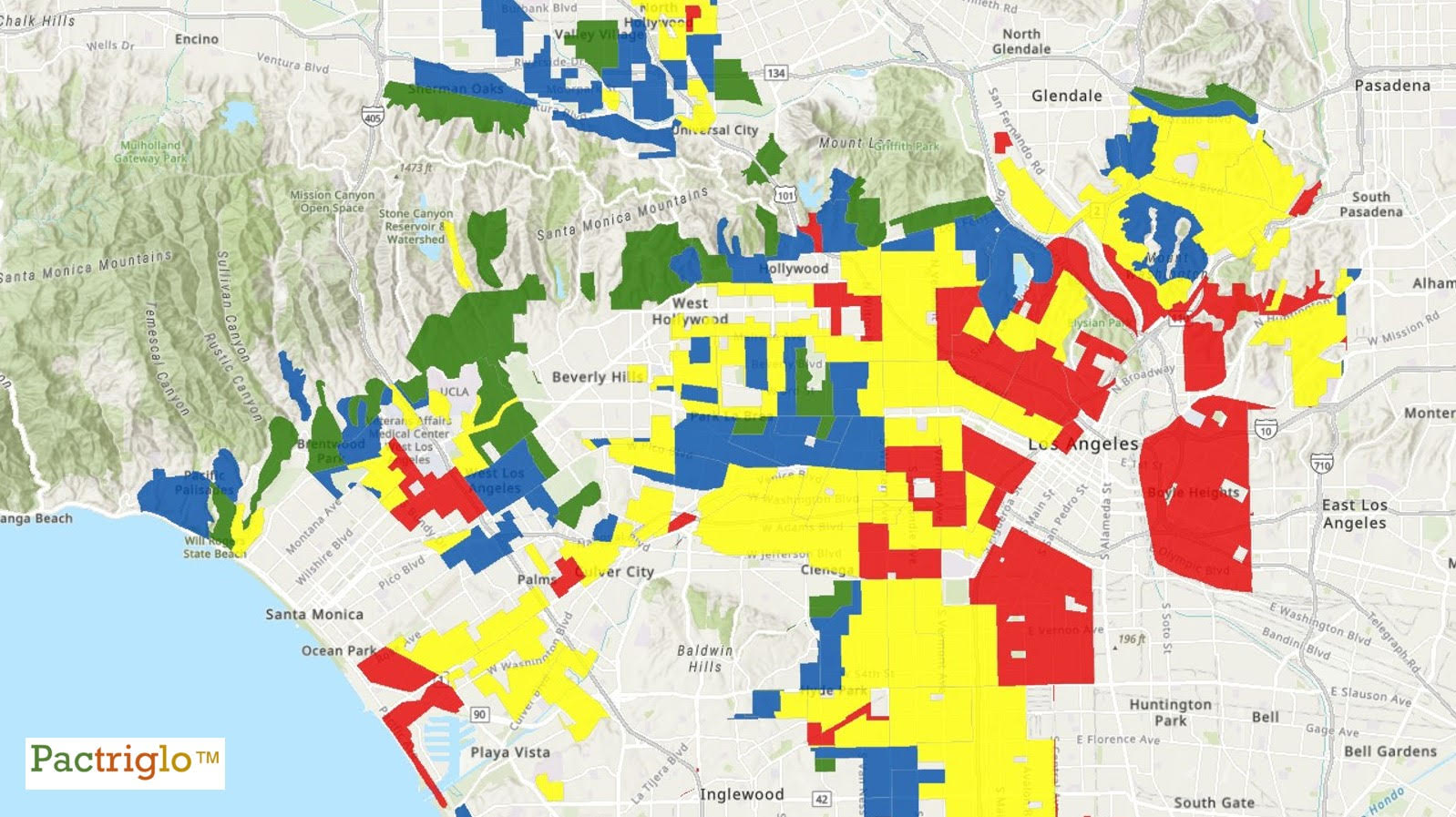
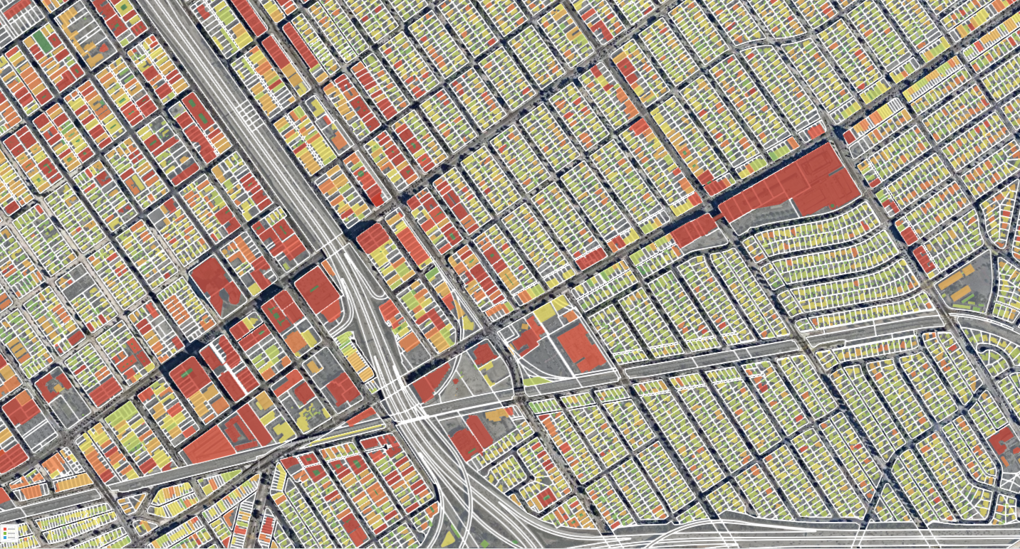
Los Angeles 10x in 3D
Feb 2, 2025 9:53:52 AM / by Benjamin Pezzillo posted in Geospatial, Urban Infill
Check out this insightful interview with Pactriglo founder Benjamin Pezzillo:
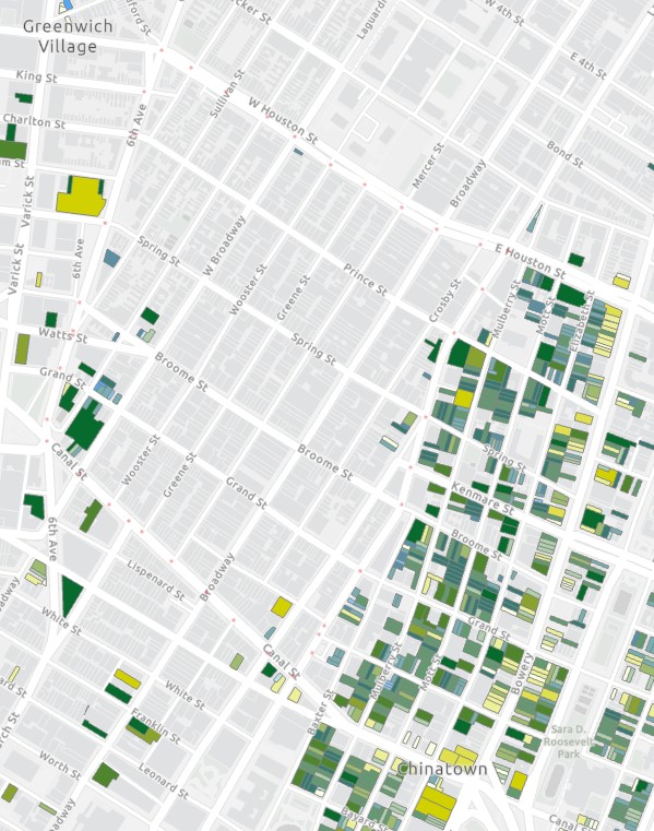
Targeteering Manhattan Underutilized CFAR
Dec 18, 2023 2:36:02 PM / by Benjamin Pezzillo posted in Geospatial, Data Science, Urban Infill
We analyzed Manhattan for lots using 25% or less of their by-right Commercial Floor Area Ratio.
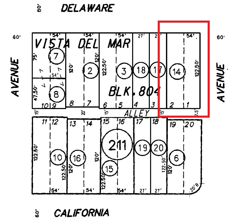
Historic Lot Cuts: The Urban Infill Land Grab
Jun 23, 2023 12:27:52 PM / by Benjamin Pezzillo posted in Geospatial, Data Science, Urban Infill
First, the be clear, Historic Lot Cuts are not 'Historical Places' worthy of cultural preservation.
Connecting the Stops
Jun 12, 2023 12:45:45 PM / by Benjamin Pezzillo posted in Geospatial, Data Science
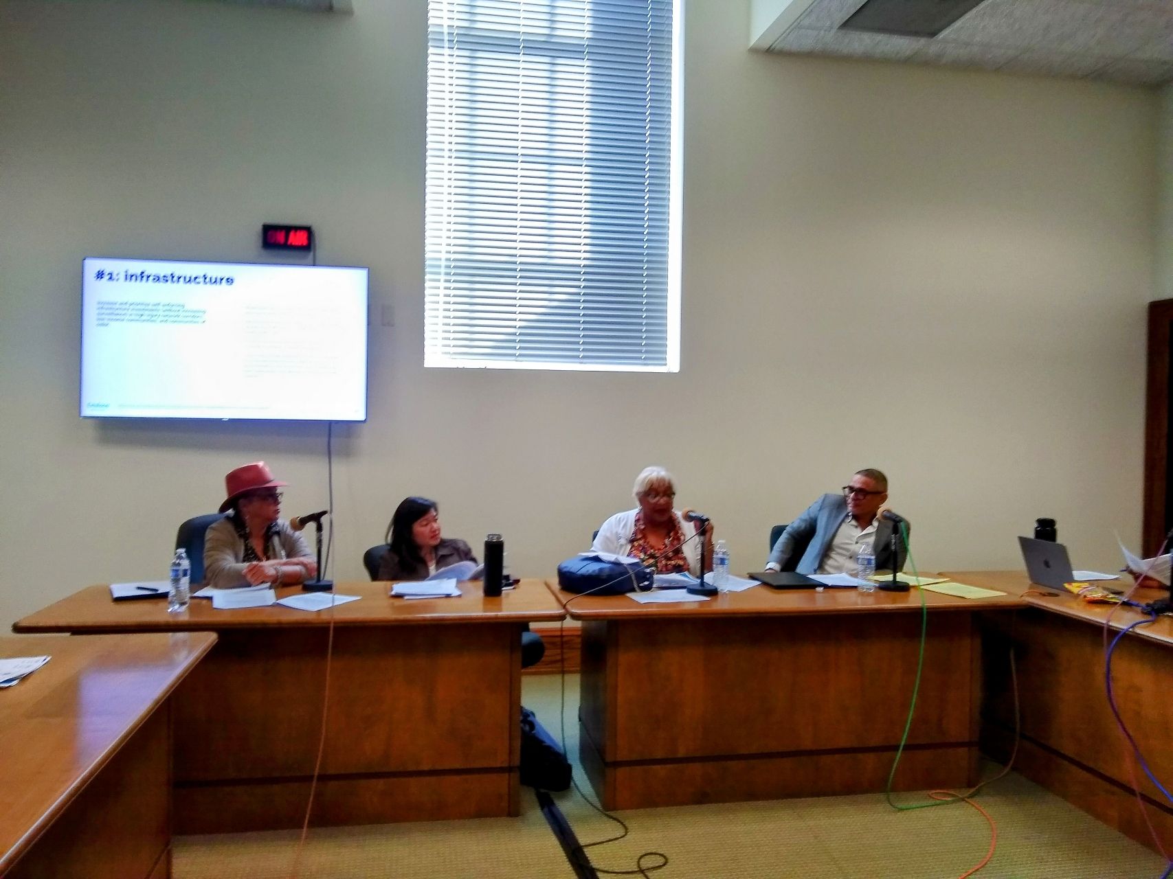
For the last year I have been volunteering on a City of Los Angeles citizen advisory task force that is studying alternatives to armed traffic enforcement.
Generative AI and Property Research
May 28, 2023 12:32:46 PM / by Benjamin Pezzillo posted in Data Science
As a certified nerd, I sometimes get early access to pre-public technology. It's part of the social nature of success with technology, early adopters try something out. Companies get feedback and user insights, users get a edge on the latest and greatest. That can drive incorporation into their future products and spheres of influence.
The Crossfire Hurricane that is Office Space
May 20, 2023 2:30:43 PM / by Benjamin Pezzillo
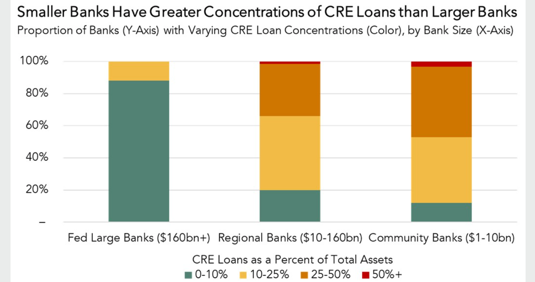
You don't need to be Jumpin' Jack Flash to recognize the state of office space commercial real estate is rapidly changing for the worse.
Redlined Los Angeles
May 8, 2023 12:15:07 PM / by Benjamin Pezzillo posted in Geospatial, Data Science
Redlined Los Angeles: Examining Contemporary Home Values in HOLC Graded Areas
Our research did not seek a finding.
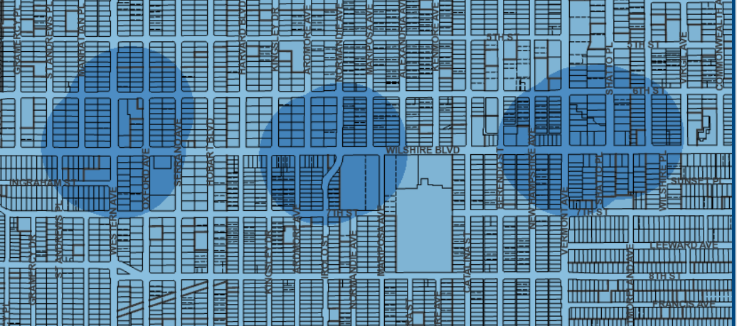
Expo Corridor Transit Neighborhood Plan
May 8, 2023 12:13:16 PM / by Benjamin Pezzillo posted in Geospatial, Data Science
In July 2018, Pactriglo performed a pro bono analysis of the Expo Corridor Transit Neighborhood Plan for Abundant Housing LA.
Nexus Study: Ellis Act and Homeless Encampment Reports
May 8, 2023 12:10:52 PM / by Benjamin Pezzillo posted in Geospatial, Data Science
In August 2020, Pactriglo published its Nexus Study between the location and timing of Ellis Act cases and reports of homeless encampments nearby Ellis Act sites.

